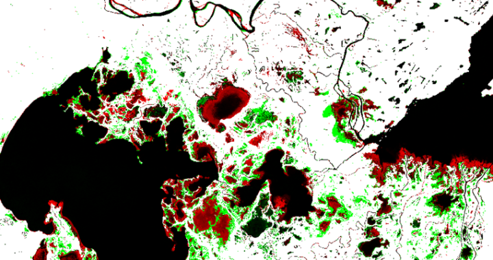
Our remote sensing team at Caslys highlights surface water detection methods in a case study of Northern Alberta and the Peace-Athabasca region. This delta and its dynamic hydrologic environment is a strong example of an area that experiences a high degree of change in surface water levels annually. Check out the article below to see our results and learn more about surface water detection! What is surface water? Surface water refers to any body of water found on the Earth’s surface, encompassing both saltwater and freshwater sources. Freshwater surface bodies such as rivers, streams, and lakes are essential for maintaining ecosystems by providing habitats for diverse plant and animal species. Additionally, they support numerous human activities, including drinking water supply, irrigation, wastewater treatment, livestock management, industrial processes, hydro power generation, and recreational activities. The presence of surface water varies in response to a variety of driving forces including, but not limited to: human activity, environmental change, and climate. Forest fires, floods, rising temperatures, urban and industrial development, as well as other climate factors and human activities all can impact surface water presence. Due to its volatile nature, available hydrologic spatial datasets often overlook seasonal surface water changes. The gap in up-to-date hydrologic data can be filled with raster-based time series approaches that allow us to view hydrology in a more dynamic way. The resulting surface water layers are important for effective planning and decision making in multi-use landscapes. Case Study: The Peace-Athabasca Delta Northern Alberta is home to one of the world’s largest inland freshwater deltas. The area serves as a refuge for more than one million migratory birds each year, as habitat for 270 animal species; including the globe’s largest free-roaming herd of wood bison, as an enclave for native grasses and sedge’s and as the lifeblood for the […]
Continue reading